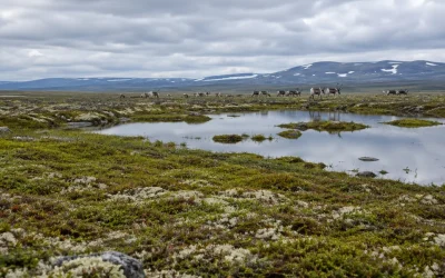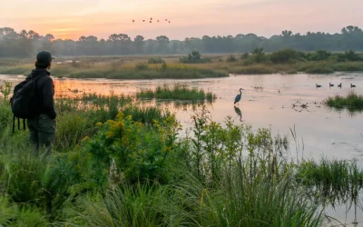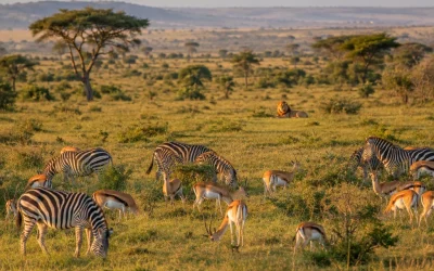
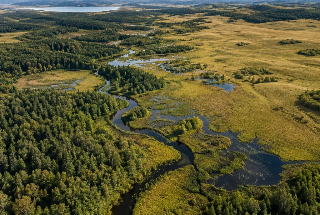
An Ecological Land Classification (ELC) divides the land into units that share similar climate, landforms, soils, water and vegetation. Instead of mapping forests, soils or wetlands separately, it combines them into ecologically meaningful areas at several scales, from continental zones down to individual forest stands. Governments, forestry companies, planners and conservation groups use ELC to understand what a piece of land can support and how it will respond to use.
What an ELC describes
The basic idea is that the same combination of physical conditions tends to produce the same kind of ecosystem. A sandy, dry ridge in a cool climate supports different plants, animals and fire regimes than a moist clay lowland nearby. An ELC records these conditions systematically:
- Climate: temperature, precipitation, length of the growing season.
- Landform and geology: bedrock, glacial deposits, slope and elevation.
- Soil: texture, depth, drainage and nutrient status.
- Water: groundwater, streams, lakes and wetlands.
- Vegetation: dominant trees, shrubs and ground plants.
- Human influence: land use, disturbance history and settlement.
Because vegetation responds to all the other factors, it often serves as the most visible indicator. But ELC differs from a simple vegetation map in that it explains why a plant community occurs where it does.
History of ecological land classification
Early work in Canada
One of the earliest attempts at a systematic description of Canadian vegetation came from William Francis Ganong, a botanist from New Brunswick. Around the turn of the twentieth century he described the plant associations of his province and tried to relate them to physical conditions. The data available at the time were too limited to reveal broader patterns.
A major step followed in Ontario in the 1950s, when the forester Angus Hills developed a system of site regions and site types. Hills linked climate, landform and soil moisture to forest productivity and argued that land should be classified as a whole, not factor by factor. His approach influenced forest management across Canada.
In the following decades, aerial photography made it possible to map large areas consistently. Orie Loucks and others used climatic and vegetation data to define forest regions in the Maritime provinces. By the 1970s federal agencies were building a national framework.
The national framework
Canada’s national ecological framework, developed by the Ecological Stratification Working Group and published in 1995, divides the country into 15 terrestrial ecozones, among them the Arctic Cordillera, the Boreal Shield, the Prairies and the Mixedwood Plains. Ecozones are subdivided into ecoprovinces, ecoregions and ecodistricts. The framework is used for national reporting on the environment, biodiversity and climate change.
The United States
In the United States, the geographer James Omernik at the Environmental Protection Agency developed a system of ecoregions in the 1980s, refined over the following decades into four levels. Level I divides North America into 15 broad regions; Level IV identifies hundreds of local units. The US Forest Service maintains a parallel hierarchy of ecological units based on the work of Robert Bailey. Both are widely used in water quality monitoring and conservation planning.
The hierarchy
ELC systems nest smaller units within larger ones. The Canadian framework is a typical example:
- Ecozone: very large areas defined by continental climate and broad landforms, such as the Boreal Shield.
- Ecoprovince: subdivisions with distinct regional climate or landform assemblages.
- Ecoregion: areas with characteristic regional climate, vegetation and soils, often tens of thousands of square kilometers.
- Ecodistrict: smaller units defined by local landforms, geology and soil patterns.
Provincial systems go further down. Ontario’s ELC for Southern Ontario, published by Lee and colleagues in 1998, classifies the landscape into community series, ecosites and vegetation types. At the ecosite level, a field ecologist can distinguish, for example, a dry-fresh oak-maple forest on sandy soil from a fresh-moist sugar maple forest on loam.
How an ELC is carried out
An ELC combines office analysis with fieldwork. A typical project follows these steps:
- Desk study: gather existing maps of geology, soils, topography and forest cover, plus aerial photographs and satellite images.
- Preliminary mapping: draw polygons of apparently uniform vegetation and landform on the imagery.
- Field plots: visit representative sites, record tree species and canopy cover, shrub and ground layers, and signs of disturbance.
- Soil pits: dig to examine soil texture, depth, drainage and mottling that indicates the water table.
- Classification: assign each polygon to a community type or ecosite using standard keys.
- Mapping and database: enter results into a geographic information system (GIS) for analysis and reporting.
Because the method is standardized, results from different projects and years can be compared, which makes ELC useful for monitoring change over time.
Uses of ELC
- Forest management: predicting tree growth, choosing species for replanting and planning harvests that match site conditions.
- Environmental assessment: documenting existing ecosystems before roads, pipelines, quarries or housing developments are approved.
- Conservation planning: identifying rare community types and ensuring that protected areas represent the full range of ecosystems.
- Wetland evaluation: delineating wetland boundaries and types for regulation.
- Climate change research: tracking shifts in vegetation zones and forecasting which sites are most vulnerable.
- Restoration: defining reference conditions that restoration projects aim to recreate.
ELC also connects to cultural ecology. Many community types reflect long human use, such as savannas maintained by Indigenous burning or old fields abandoned by farmers. Recording land use history is therefore part of a good classification.
Strengths and limits
The main strength of ELC is integration. Foresters, hydrologists, wildlife biologists and planners can work from the same map units and the same vocabulary. A standard classification also makes it possible to say how rare a community type is across a province or region, which matters when deciding what to protect.
The limits are equally real. Boundaries drawn on a map are sharp, while nature changes gradually from one site to the next. Classifications built on current vegetation may not hold as the climate warms and species shift northward or uphill. And the quality of an ELC depends on the number and skill of field visits; broad units based mainly on imagery can hide important local differences. Most agencies therefore revise their systems regularly and treat them as working tools rather than fixed truths.
Frequently Asked Questions
What is the purpose of an Ecological Land Classification?
To divide land into units with similar climate, landform, soil and vegetation so that its ecology, productivity and sensitivity can be described and compared.
How many ecozones does Canada have?
The national framework defines 15 terrestrial ecozones.
What is the difference between an ecoregion and an ecodistrict?
An ecoregion is a larger unit defined by regional climate and vegetation; an ecodistrict is a smaller subdivision based on local landforms and soils.
Who uses ELC data?
Forestry agencies, environmental consultants, municipalities, conservation groups and researchers.